Resources
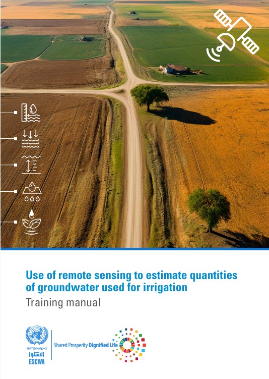
All resourcesUse of remote sensing to estimate quantities of groundwater used for irrigation
In the face of increasing water scarcity, limited renewable groundwater resources continue to be exploited at an unsustainable rate, exceeding natural recharge rates. The excessive use of groundwater, especially by the agricultural sector, combined with low efficiency, has led to a decline in groundwater storage in most of the Arab region. It is projected that by 2050, available amounts of groundwater per capita will have decreased by more than half since the beginning of the century. Thus, the accurate estimation of groundwater use for irrigation is critical for sustainable water management, especially in arid and semi-arid areas such as the Arab region.
This training manual was developed to support water resource experts in Arab countries in accessing remote sensing data from open-source platforms and data available on the Arab Groundwater Knowledge Platform to better manage groundwater used for irrigation. It provides a step-by-step guide to estimating groundwater use from irrigated agriculture in dry regions using remote sensing techniques. The manual is designed to give users the knowledge and tools they need to use advanced remote sensing technologies to provide efficient and precise groundwater estimations in data-scarce regions.


